Wash Road, Crouch Ward
On this page you can find a location map as well as a list of places and services available around Wash Road: Hotels, restaurants, sports facilities, educational centers, ATMs, supermarkets, gas stations and more.
Nearest Named Buildings
- - 449 m
Coppice Lane - - 1129 m
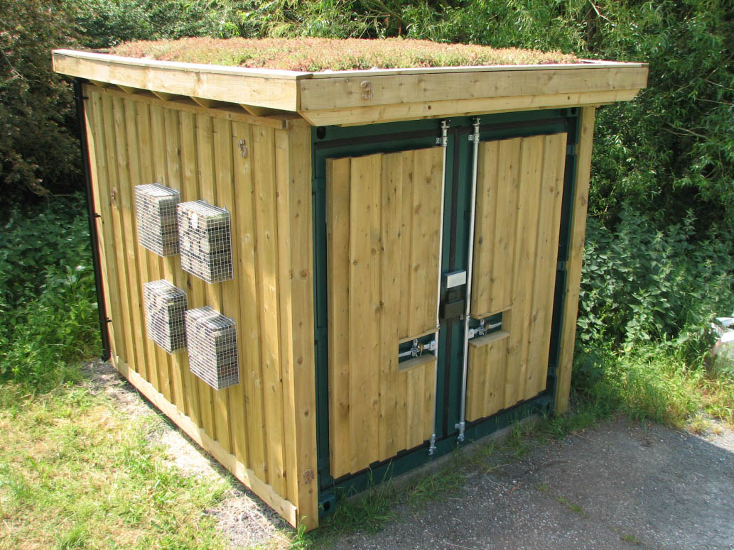
with habitation panels and biodiverse roof (2018).
https://www.nbnrs.org.uk/images/nbnr_storage_hut_180622_1_10... - - 1802 m
Southend Arterial Road
https://www.reynoldsmotorgroup.co.uk/ - - 1982 m
Pipps Hill Road South
https://www.premierinn.com/gb/en/hotels/england/essex/basild... - - 465 m
Bridge Street
https://noakbridgemedicalcentre.co.uk/ - - 1066 m
Wash Road 45
https://www.greeneking.co.uk/pubs/essex/noak-bridge - - 487 m
Bridge Street 41
https://www.abbeyfield.com/ - - 503 m
Wash Road
https://www.noakbridgechristiancentre.org.uk/